Jatayu Disaster Response System
An autonomous drone system for search & rescue, flood relief, fire response, and post-disaster emergency operations across India's most challenging terrain.
Autonomous Response When Every Second Counts
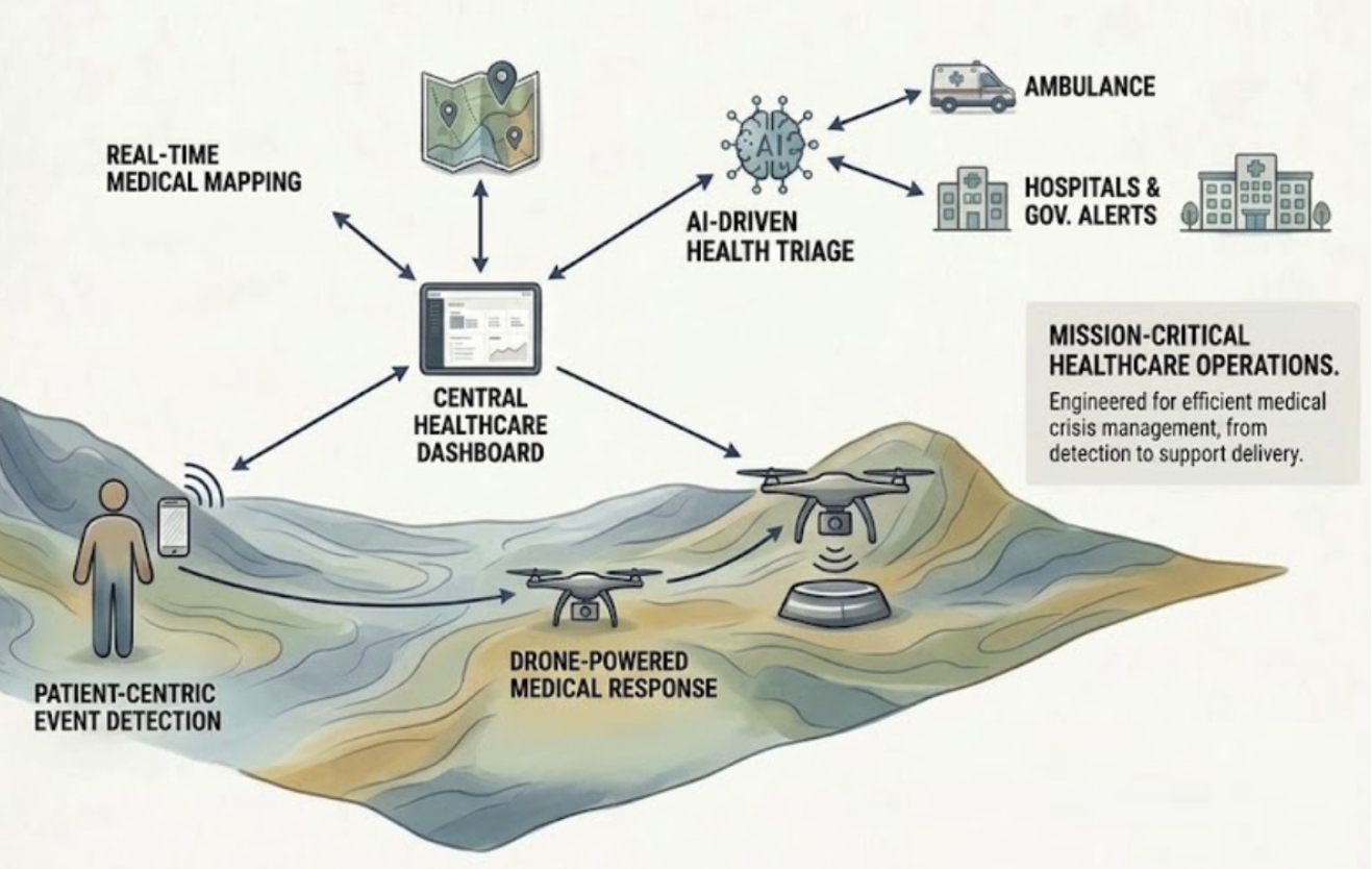
In the critical first hours after a disaster — a flood, structural collapse, or wildfire — ground search teams face enormous risk and limited coverage. The Jatayu Disaster Response System gives responders aerial intelligence first: real-time thermal mapping, AI-powered victim detection, and GPS-guided delivery of emergency supplies, all without continuous human pilot control.
It is designed for India's diverse disaster profile — monsoon flood plains, Himalayan terrain, dense urban collapse zones, and cyclone-hit coastal regions — and engineered in India for Indian disaster response needs.
From Alert to Aid in Five Steps
- STEP 01
Alert & Launch
Dock-staged Jatayu units launch on alert while Baaz maps the affected region.
- STEP 02
Thermal Sweep
The swarm splits the zone into sectors and scans through smoke, darkness, and rubble.
- STEP 03
AI Detection
Edge AI flags survivors and hazards and pins them on the command-center map.
- STEP 04
Precision Delivery
Vahak drops medical kits and comms gear to cut-off locations.
- STEP 05
Recharge & Relaunch
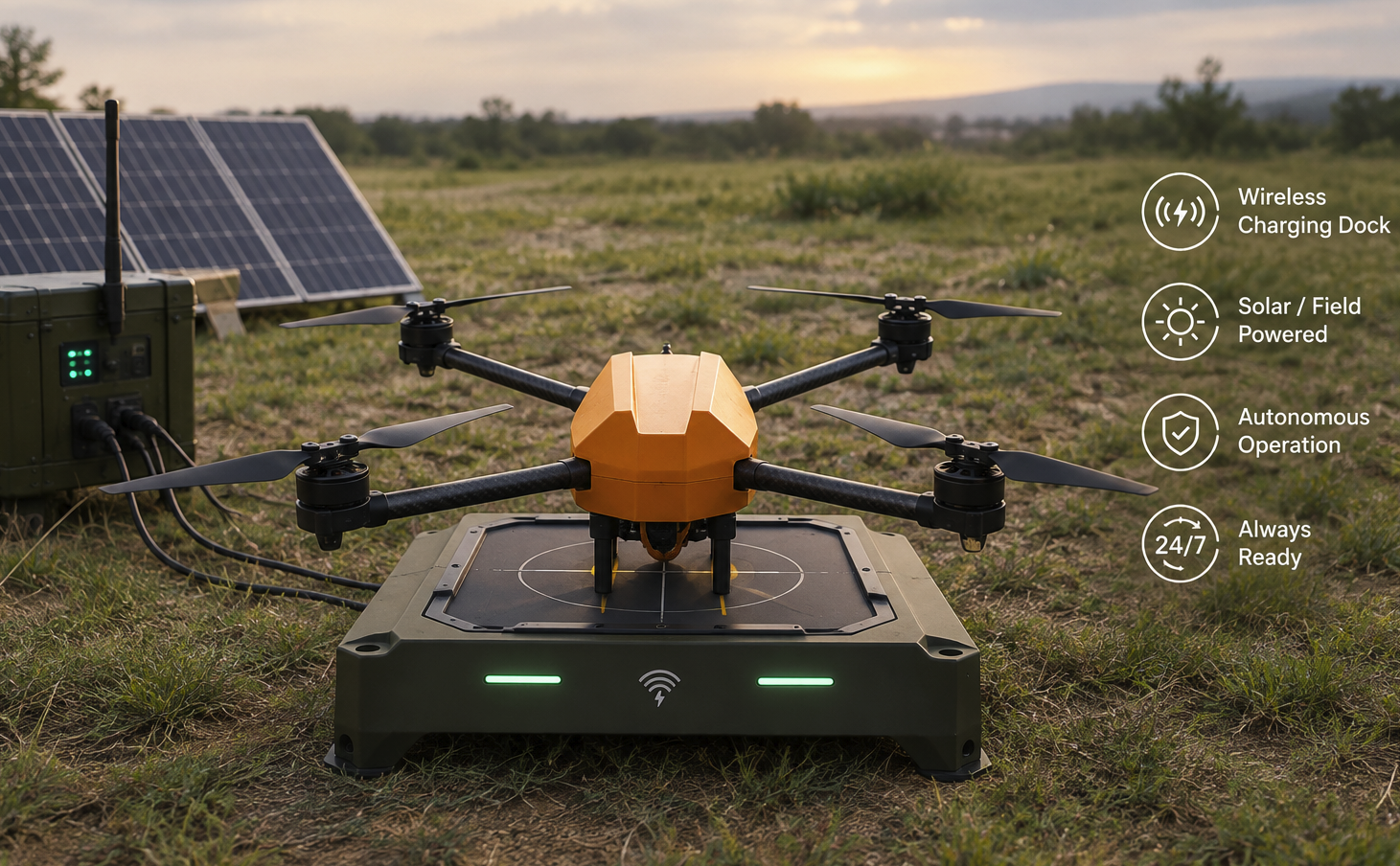
Drones return to the dock, charge, offload data, and fly again.
What the System Delivers in Disaster Zones
Low-Latency Edge AI
Onboard neural processing identifies victims and hazards in real time (<100 ms) — no cloud connection needed where communications are down.
Dual Thermal + Optical Payload
Simultaneous thermal and high-definition optical streams let search teams find heat signatures through smoke, darkness, and rubble.
GPS-Denied Navigation
Visual inertial odometry keeps the UAV on course where GPS signals are jammed or unavailable.
Precision Emergency Delivery
GPS-guided drops of medical supplies, communication equipment, and life-saving provisions to cut-off locations.
Swarm Coordination
Multiple UAVs split large disaster perimeters into sectors and share live feeds with the command center over a mesh network.
Autonomous Docking & Charging
Docking stations at staging areas keep drones flying 24/7 — no human battery swaps in dangerous hot zones.
Recommended Configuration
 Primary Platform
Jatayu Autonomous UAV
Dual thermal/optical payload with onboard edge AI, purpose-built for extended search operations in GPS-denied disaster zones.
 Continuous Operations
Autonomous Docking & Charging Station
Deployed at staging areas so Jatayu units land, charge, offload data, and relaunch without anyone entering the hot zone.
View Product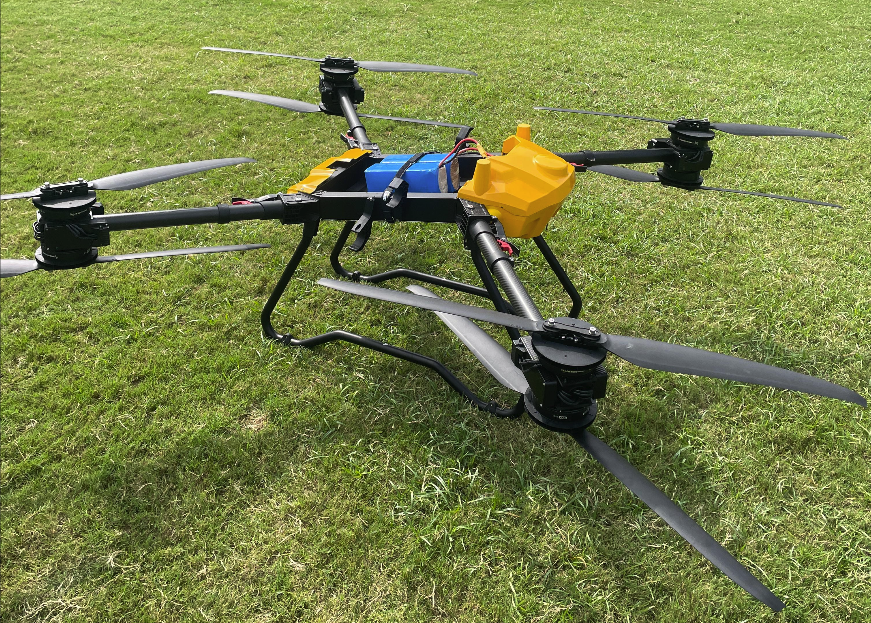 Supply Delivery
Vahak Heavy-Lift UAV
Carries medical kits, communication equipment, and essential supplies to cut-off communities, with GPS/RTK-enabled precision drops.
View Product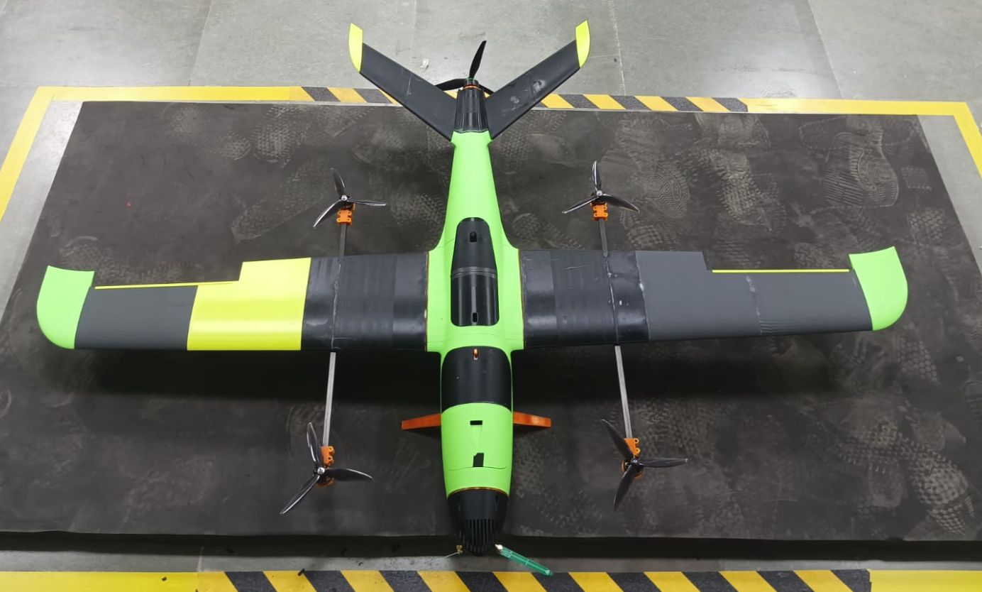 Wide-Area Reconnaissance
Baaz Long-Range VTOL
Maps large affected regions quickly — launches without a runway and gives command teams a live picture before ground teams move in.
View ProductOther Solutions
Ready to Deploy Jatayu?
Request a detailed mission briefing on how the Jatayu Disaster Response System integrates with your disaster response operations.